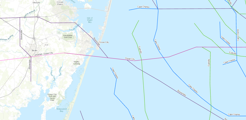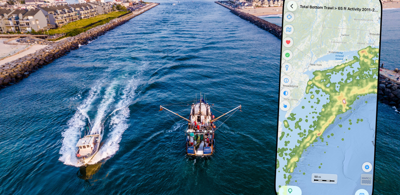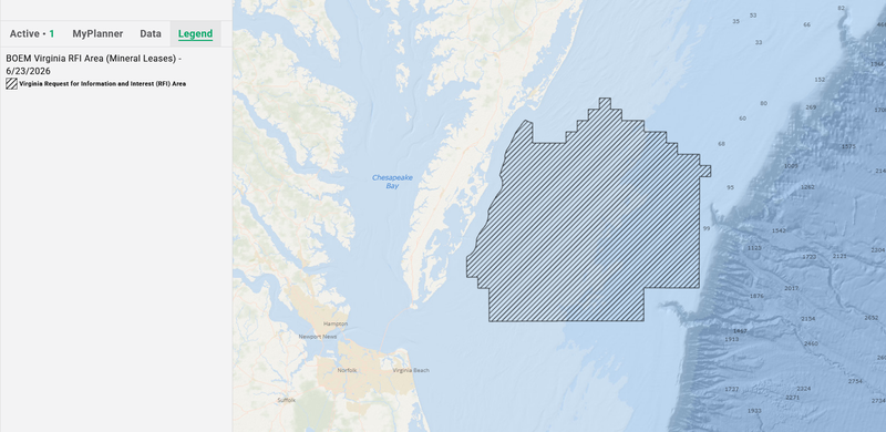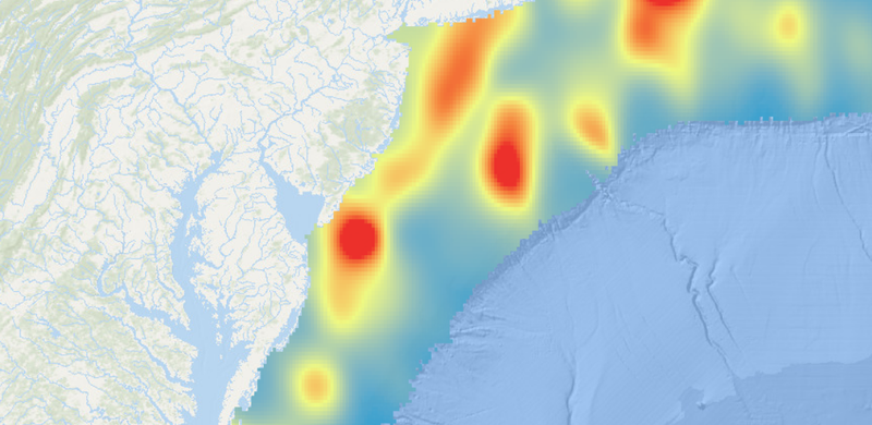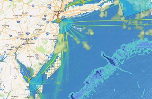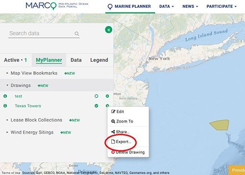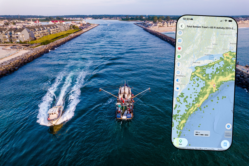
MAP VISUALIZATION TOOL
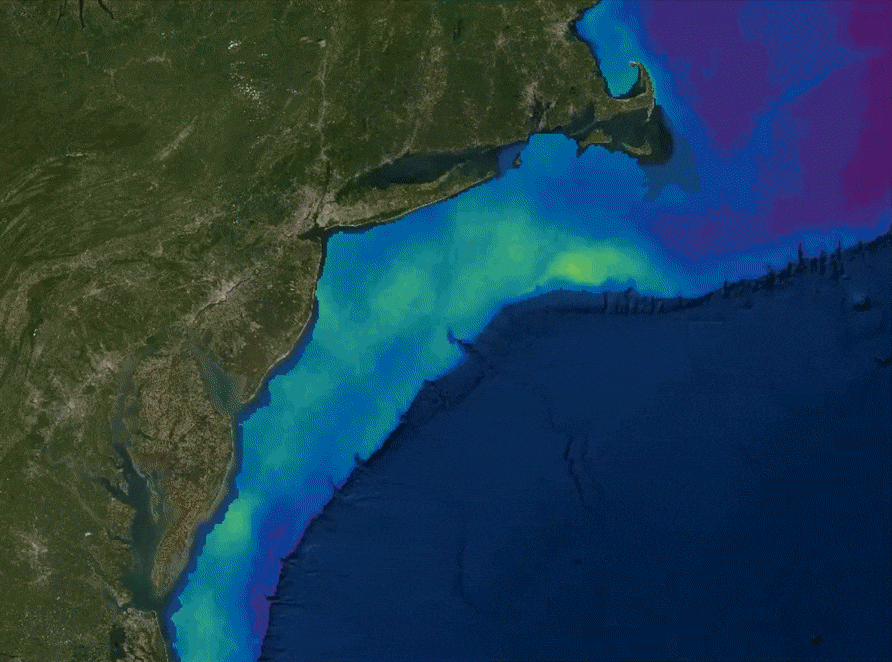
Use our Marine Planner visualization tool to explore over 6,000 map layers showing seafloor habitats, fishing grounds, shipping traffic, marine life distributions, offshore infrastructure, reef and shipwreck locations, and much more.
LAUNCH THE MAP