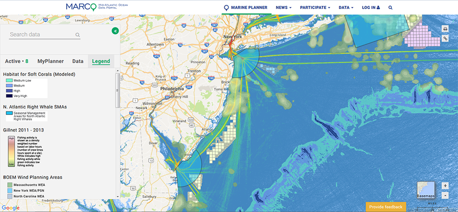
- Full “Portal 101” overview lesson from our June 2025 How Tuesday webinar
- Marine Planner Basics: Video tutorial | Diagram (PDF)
- How to import GIS files and create polygons, points and lines with the Shapes Tool
- How to use the Map Layer Import Tool
- How to create and run Portal Groups
- How to use the Linear Measurement Tool
- How to use the Marine Life Library search tool (video)
- How to use the Communities at Sea search tool (video)
- How to use the Slider & Animation tool | Video tutorial
- How to download and use the Portal mobile app.
- Download our fact sheet.

