



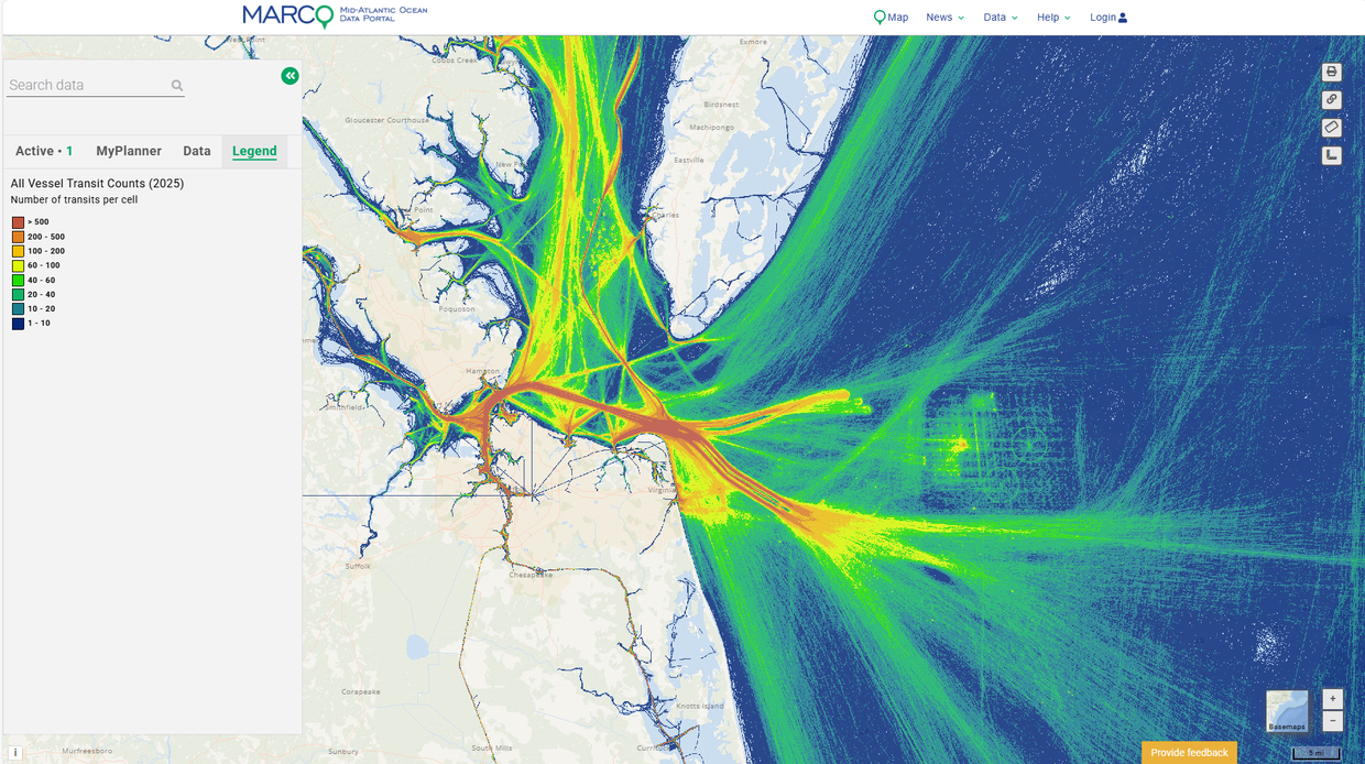
Vessel traffic and activity data (transit counts) for 2025 are now available in the Mid-Atlantic Ocean Data Portal’s Maritime theme.
These data products were developed in collaboration with partners from the Marine Cadastre, which obtained the data from the U.S. Coast Guard and processed it for regional and other partners to use. The data were then used by the Northeast Ocean Data Portal to develop regional maps by vessel type. Partners from the U.S. Coast Guard and the maritime industry have contributed valuable input, helping to guide how the data should be processed and presented to maximize their accuracy and usefulness. Over the coming year, we will continue engaging with the maritime community, using their feedback to refine vessel transit data products and characterize data product use.
The new data contribute to a growing library of annual and monthly vessel traffic data on the Portal, which now includes map layers dating back to 2011. These data have multiple ocean planning and management applications, including as one component of the studies and analyses conducted by the U.S. Coast Guard for Waterways Management and Port Access Route Studies (PARS).
The new data can be found by clicking on the “AIS/Vessel Traffic” dropdown in the Portal’s Maritime theme, and selecting either the AIS 2025 Monthly Data Sliders for monthly maps or AIS Vessel Transit Counts (2025) for annual maps. Users can view data for all vessels together or select from multiple categories of vessels including cargo, fishing, passenger, pleasure craft/sail boat, tanker, tug-tow, and other vessels. The time slider tool in the Active tab enables users to advance vessel traffic maps month by month to see how traffic patterns for each vessel category change throughout the year.
Vessel traffic datasets are based on Automatic Identification System (AIS) data collected by the U.S. Coast Guard through onboard navigation safety devices that transmit and monitor the locations and characteristics of large vessels in U.S. and international waters. While AIS data often contain some errors such as vessels registered in an incorrect category, the maps show general patterns of vessel activity. For more information, see the metadata.
To download monthly or annual AIS data, click here and open the Marine Transportation section.