



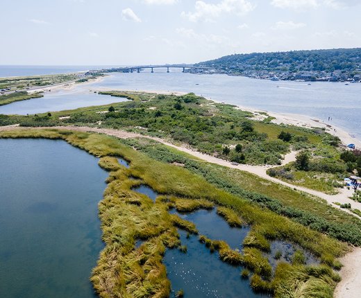
Explore the Mid-Atlantic for the locations and boundaries of preserved open space tracts and parklands in coastal areas with six new map layers in the Portal’s Conservation theme.
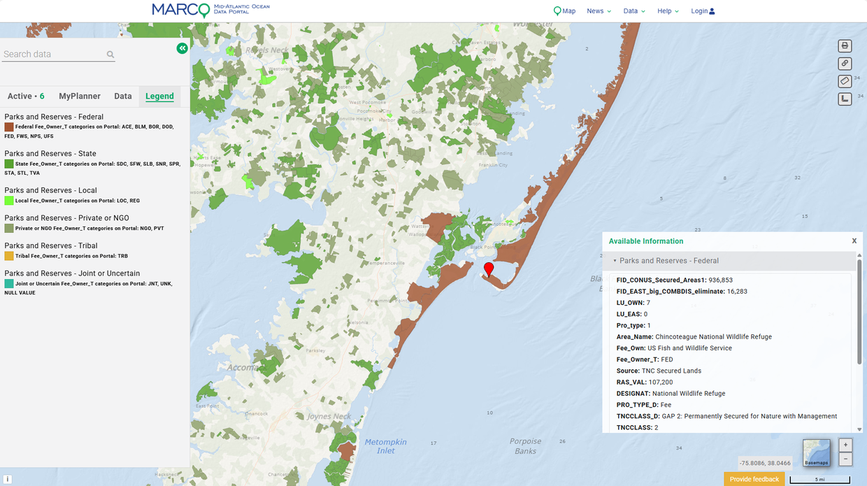
The Parks and Reserves layers were derived from The Nature Conservancy’s nationwide Secured Lands conterminous US (CONUS) dataset, which shows public and private lands that are protected from development through fee ownership, easements, and other conservation-focused designations. The Portal maps show secured lands within 10 kilometers of shorelines, estuaries, and coastal rivers from Virginia to Maine. (The data extends further inland for the key estuaries of the Delaware Bay/River and Hudson River.)
The maps show lands by the following types of property owners:
● Parks and Reserves – Federal
● Parks and Reserves – Private or NGO
● Parks and Reserves – Joint or Uncertain
Upon clicking on any park or preserved land area, a window will pop-up containing the site’s name, owner, and details about its preservation status. The windows list each site’s GAP status, a classification developed by the U.S. Fish and Wildlife Service to reflect the intent of the landowner or easement holder. Lands marked as GAP 1 and 2 are commonly thought of as “protected” for nature and natural processes, while GAP 3 are “multiple-use” lands. It also includes a set of more temporary easement and GAP 4 open space lands not are not permanently secured for conservation at this time.
The Conservation theme contains additional maps showing specific types of preserved areas, including National Park Service Boundaries, the National Estuarine Research Reserve System, U.S. Fish and Wildlife Service National Wildlife Refuges, and various waters with protections, such as marine national sanctuaries.
Users may also be interested in activating the Parks and Preserves maps in combination with layers in the Recreation theme, such as the Coastal Recreation Survey, Boat Ramps, and Water Trails collections, to see where these destinations align with other opportunities for enjoying nature and the outdoors. Note, restrictions to public access may be in place at some preserved areas shown on the maps. Users should research the areas accordingly before visiting them.
Mobile app users: If these layers don’t initially appear, tap the Settings icon and click “Clear and Reload Map Layers.”