



In addition to the many data additions and tool enhancements covered in our News section, the following updates have recently been made to the Portal.
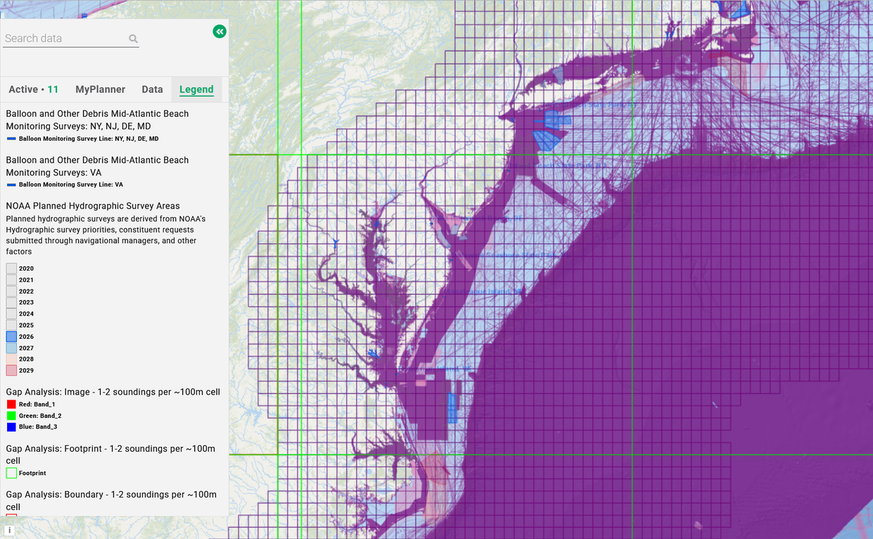
Balloon Litter: The Balloon and Other Debris Mid-Atlantic Beach Monitoring Surveys map layers in the Water Quality theme have been updated to include data from fall 2025 and spring 2026 cleanups. Click on any of the beach cleanup areas for a pop-up window containing the stats for that beach.
NOAA Planned Hydrographic Survey Areas: This map shows offshore areas where the National Oceanic and Atmospheric Administration (NOAA) has conducted surveys over the lass few years and where they are planned in the coming years. NOAA's Office of Coast Survey is responsible for planning hydrographic surveys, with priorities determined through requests submitted by constituents including marine pilots, port authorities, the U.S. Coast Guard, and the boating community, as well as other factors.
Bathymetry Gaps: Six map layers in the “United States Bathymetry Gap Analysis” dataset, which can be found by clicking on the “Bathymetry” dropdown in the Habitat theme, represent bathymetric sounding densities of multibeam, single beam, NOAA National Ocean Service (NOS) hydrography, NOS bathymetric attributed grid-formatted hydrography, bathymetric LIDAR, CCOM/JHC extended continental shelf surveys, and crowdsourced bathymetry, classified by number of soundings per 100M cell.
10 Minute Squares: The 10 Minute Squares of the Greater Atlantic Region layer shows a standardized grid system used primarily by NOAA for purposes such as fisheries management and habitat mapping. They can be found in the Fishing theme in Multi-Fishery>Mgt. Areas>Other.