The Mid-Atlantic Ocean Data Portal, in coordination with the Marine-life Data and Analysis Team (MDAT), the NOAA Northeast Fisheries Science Center (NEFSC), OceanAdapt, and the Northeast Ocean Data Portal, announce the release of updated maps depicting the distribution and biomass of fish species in the northeastern U.S. continental shelf ecosystem.

The original Version 1 marine life data products were released in 2016 in conjunction with the Mid-Atlantic Regional Ocean Action Plan. Version 2 was released in summer 2018 and provided new species groups for fish. Version 3 was released in summer 2019 and provided entirely new data products for fish species caught in the NEFSC bottom trawl survey.
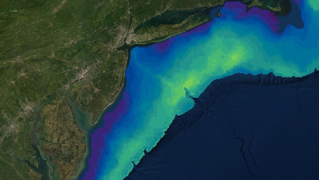
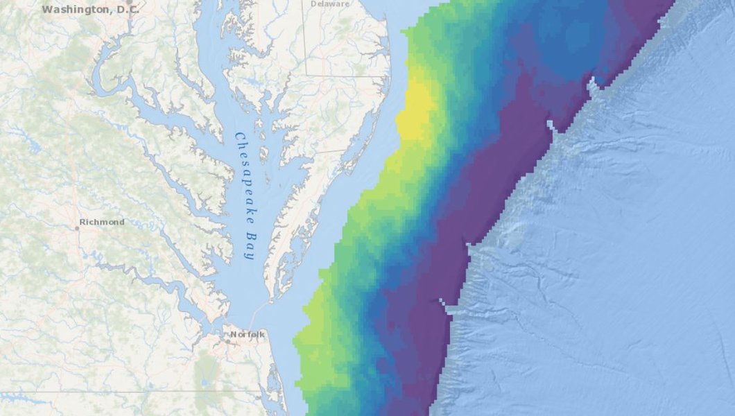
Today’s update builds on Version 3 and incorporates the most recent data from the NOAA NEFSC Ecosystems Surveys Branch so that the regional fish biomass products in the Portals now represent a complete decade of federal trawl survey data. The resulting data products represent average annual biomass for each of 81 species in fall and spring from 2010-2019.

Species Groups: All of the fish species group products (such as All Fish Species: Biomass, Forage Fish: Species Richness, and EFH Species: Core Biomass Area - Mid-Atlantic Scale) have been updated. These products can be found in the Marine Life theme in Marine Planner by clicking the dropdowns for “Fish - Spring 2010-2019” or “Fish - Fall 2010-2019.”

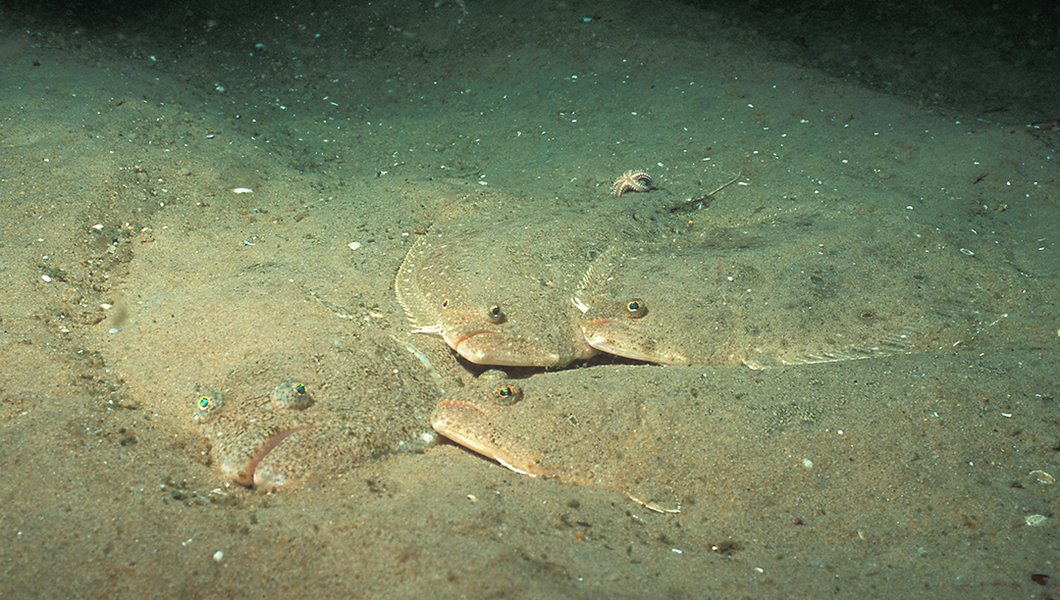
Individual Species: Individual species products (e.g. Atlantic Sturgeon Observed Biomass, Summer Flounder Interpolated Biomass) in the Marine Life Library (Species Specific) theme have also been updated. To view them, users can click on the “Fish Biomass NEFSC” dropdown and type the name of a species of interest into the search widget. Once two or more characters are typed in, a list of potential matches will display. To view a tutorial on using the Marine Life Library search tool, click here.
As with previous versions, these updated fish data products address feedback from Northeast Regional Ocean Council (NROC)-Mid-Atlantic Regional Council on the Ocean (MARCO) Marine Life Work Group members and other stakeholders by continuing to use NEFSC methods and code, standardizing legends so that seasons for each species/group can be compared, and maintaining high spatial resolution (2 km grid size).
Data products for the individual state trawls and the NorthEast Area Monitoring and Assessment Program (NEAMAP) were not updated as part of this release. For a detailed description of fish data product updates, see MDAT Fish Product Updates Summary of Changes (September 2021).

