Every map tells a story. We help you share yours.
The Portal connects agency, industry, and community leaders who are shaping the future of our ocean to the best available data on ocean science, maps, and each other through a state-of-the art data visualization, storytelling, and networking platform.
Thousands of maps to fuel planning efforts

Everyone has a stake in the ocean – and it's getting more crowded all the time as conflicting uses compete for its many resources, from recreational outlets to renewable energy.
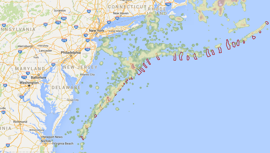
Deepen your understanding of complex, multi-faceted ocean use with the Portal's interactive mapping tool, Marine Planner. The Portal features more than 6,000 ocean resource and human use data layers, such as marine life distributions, fishing grounds, recreational areas, shipping lanes, wildlife habitat, and proposed renewable energy sites.
With powerful mapping and design capabilities at its core, Marine Planner allows you to explore, share, and compare potential solutions to ocean planning challenges. Use it to assess regional ocean management plans, proposals, or ideas across sectors through the best available data.
Marine Planner gives individuals and groups the tools to view and explore multiple data layers over a range of base maps including Google Satellite or Physical maps, Esri Ocean, or Nautical Charts. The point-and-click custom drawing feature lets you quickly and easily design, modify, and analyze the geographic area of the ocean you’re interested in.
Explore what's currently available in the Data Catalog or head straight to Marine Planner to browse its library of maps. Search for a specific type of data using common keywords no matter where you are in the site.
New ways to network

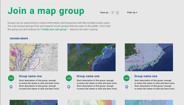
Connect and collaborate with a growing network of ocean stakeholders around common themes with the new Groups feature.
Illustrate new or existing ocean uses, find compatibilities, and reduce ocean conflict by creating a new group - or participating in an existing group - and inviting your colleagues to join you.
Maps can be saved and shared with other group members, publicly or privately – it’s up to you!
Connect the dots between place-based priorities and different points of view

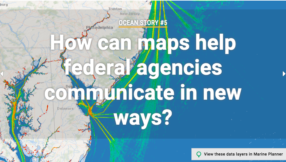
Ocean stories are a unique blend of data, maps, videos, photos, and personal perspectives from around the region.
Some stories featured on the Portal explore competing or conflicting ocean use and illustrate how mapping and collaboration have helped alleviate or resolve tensions and build unique partnerships. Use these stories to explore real-life Portal applications, enhance your knowledge of hot topics, or inspire the creation of your own ocean maps or collaborative group.
Through its new, seamless design the Portal invites you to dive into the data behind each ocean story and make your own discoveries.
Work with us

Never made a map? No problem. You can be an ocean mapping expert in no time. Check our Calendar for upcoming How Tuesday webinars, which invite users of all skill levels and backgrounds to come together and learn more about Portal navigation and resources.
Our team is happy to arrange online or in-person training sessions with your organization in support of your work. And if you have existing data to contribute or would like to partner with MARCO to develop new data, we want to hear from you.
Get in touch with us at portal@midatlanticocean.org today!

