



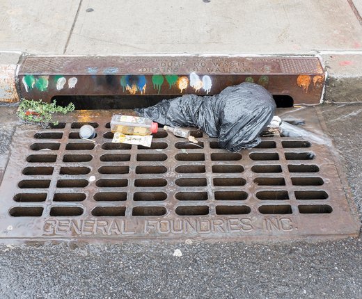
A new map in the Portal’s Water Quality theme models the risk of loose garbage entering waterways in coastal communities.
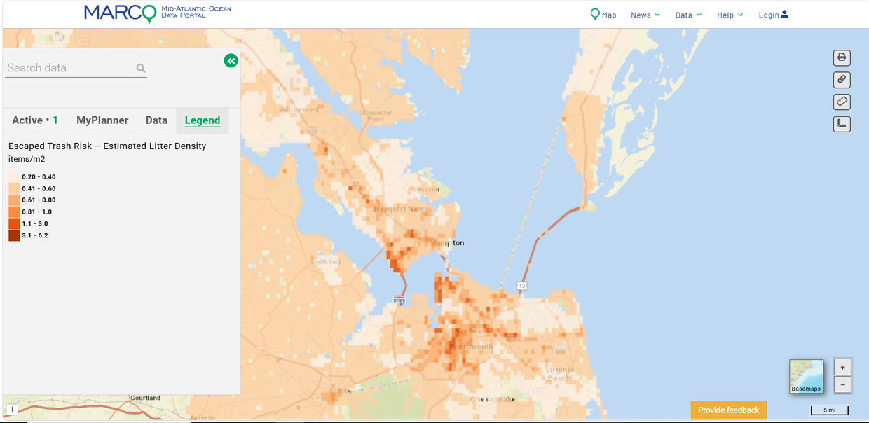
The Escaped Trash Risk -Estimated Litter Density data layer represents estimated litter density at the square kilometer level along roadways with a higher risk of getting into waterways where they intersect with a floodplain. Darker shading indicates a higher litter density.
The map is a snapshot in time from September 2024 based on more than 11.5 million points of citizen science data collected across the country in all U.S. river basins between 2021-23. It is part of an Escaped Trash Risk Map dataset developed by the University of Georgia College of Engineering Circularity Informatics Lab and the Sea Education Association for the U.S. Environmental Protection Agency’s (EPA) Trash Free Waters program.
The Portal map covers tracts in the Mid-Atlantic and Northeast that fall within “coastal watershed counties” as defined by the National Oceanic and Atmospheric Administration. Users can view the EPA’s national-scale Escaped Trash Risk Map for additional data from the lower 48 states of the U.S.
“Escaped trash” are materials like plastic cups and bags, paper products and other solid materials that have been littered intentionally or that have gotten into the environment because waste systems did not contain them securely. The EPA tool was designed to help local governments and communities identify areas with an estimated high-density of escaped trash so that increased street sweeping, additional public trash cans, adopt-a-street initiatives, or other potential interventions can be evaluated for their usefulness in addressing the problem.
Users can click the map for a pop-up displaying the EPA’s estimated number of litter items in that river basin along with item types and material type distributions. Locations and summary data on microplastics in freshwater systems across the U.S. are also displayed on the map where available. Data are insufficient to estimate microplastic concentration in all U.S. waterbodies. Click here to read a more detailed description of the model and survey methodologies.
The model is intended to inform local data collection and planning, not to replace context-specific surveys. Risk predictions from this model should be ground-truthed for an area of interest to validate the model, which is based on nationally consistent drivers of litter density and composition and does not account for many key localized drivers of escaped trash, including road type, policy, or cleanup activities. The ETRM is based on a limited national sample size of 315 sites across all 20 US River Basins. Where empirical data exist for a specific geography, locally collected data should refine or supersede modeled estimates.